
Hyperspectral Software
Powerful tools for hyperspectral analysis
Spectronon™ Software
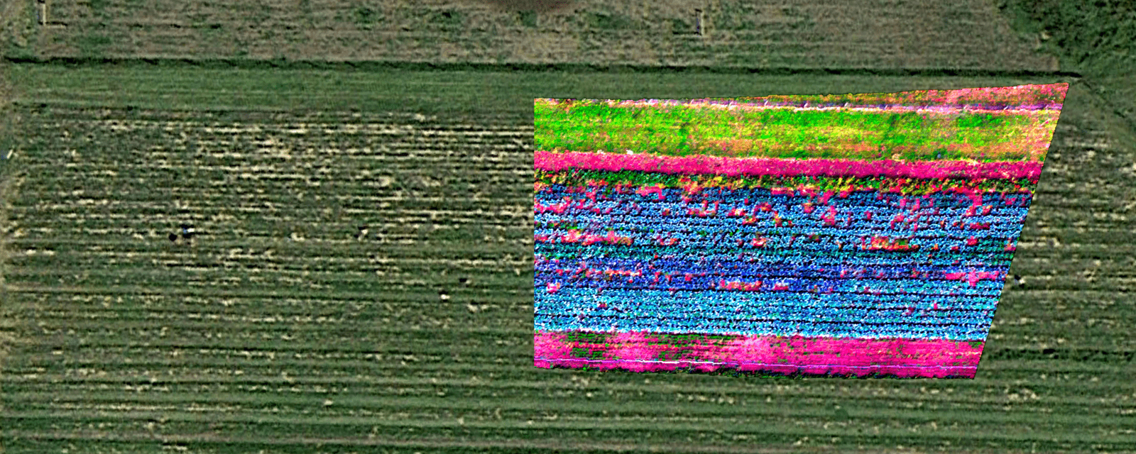
Spectronon hyperspectral software is used to control Resonon's benchtop and outdoor hyperspectral imaging systems and to analyze hyperspectral datacubes. The datacubes can be from Resonon hyperspectral imagers or from other companies' products.
Many data processing, analysis, and visualization tools are included, and user-written plugins are also supported.
Download Spectronon and sample hyperspectral data for free at our downloads page to see for yourself how powerful hyperspectral data can be.
Spectronon Features
Data acquisition
Data analysis tools
- Controls Resonon hyperspectral imaging cameras and stages
- Corrects for dark noise, illumination, and sensor response
- Outputs in standard formats (.bil, .bip, .bsq)
- Hyperspectral classification (Support Vector Machines, Logistic Regression, and many others)
- Hyperspectral Vegetation Indices
- Multiple utilities (smoothing, cropping, ROI, etc.)
- Supports user-written plugins
RVS Machine Vision Software
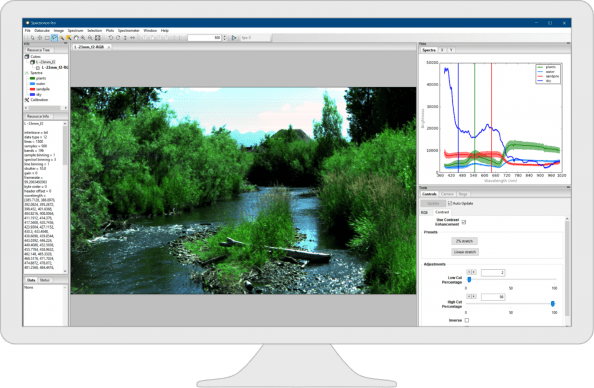
Resonon's RVS (Real-time Vision System) is an advanced machine vision software that leverages the power of hyperspectral data and machine learning to achieve rapid and accurate material identification. When paired with the Benchtop SpectralSight™ System, RVS automates the process: it detects objects, creates a high-resolution datacube for each, and analyzes the results in real-time. This quick-to-implement solution makes integrating a high-performance optical sorting, grading, or quality control system straightforward, even for users new to hyperspectral technology.
RVS software is also used in industrial installations at leading companies in food production, manufacturing, and recycling.
Airborne Remote Sensing Software
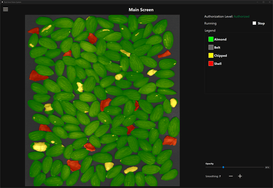
Resonon's airborne remote sensing software operates the airborne system during flight and provides post-processing tools for radiance correction and georectification.
Before flight, the user configures the basic system parameters and region-of-interest. During flight the airborne software autonomously controls the hyperspectral imager, GPS/IMU, and downwelling sensor (if used). After the flight, the raw data is converted to radiance or reflectance, and then georectified.
For more details please see the airborne system manual.
Software Development Kit (SDK)
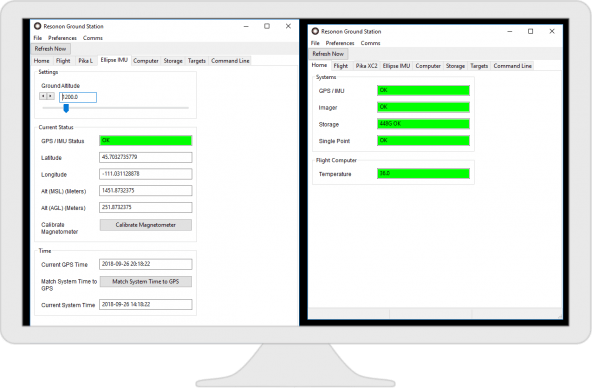
Resonon provides a programming guidance document for integrating Resonon hyperspectral cameras using readily available SDKs in a number of different software languages.
Compatible Third-Party Machine Vision Software Solutions
Resonon cameras are compatible with several commercial software solutions that work with hyperspectral data. These software packages are perClass Mira, Prediktera, and LuxFlux.
These software can be integrated with existing software in machine vision applications in order to control various sorting tools, such as picking robots and air jets.
Compatible Software for Resonon Hyperspectral Datacubes
Many different software languages are able to open and manipulate hyperspectral datacubes captured via Resonon hyperspectral imagers.
Some of these languages are:
- MATLAB
- Python
- Remote Sensing packages (ENVI, ERDAS Imagine, ArcGIS, GRASS)
- GDAL
- R
- IDL
Support
Product Data Sheet
Product Manual
RVS Software User Manual
Spectronon User's Manual [pdf]
Benchtop Quick Start Guide [pdf]
SDK Documentation [online]
Airborne Hyperspectral System Manual [pdf]
Airborne Post Processing Summary [pdf]
Airborne Radiometry [pdf]
Introduction to Data Processing with Spectronon [pdf]
Creating Training Sets and Using Regression Analysis in Spectronon [pdf]
Tutorial on User-Written Plugins in Spectronon (Wien's Law and heat maps) [pdf]
Using the Batch Processor [pdf]
Contact Us
Click below and our hyperspectral experts will contact you soon.
Complete Hyperspectral Imaging Solutions
Contact
Resonon Inc.123 Commercial Drive
Bozeman, MT 59715 USA